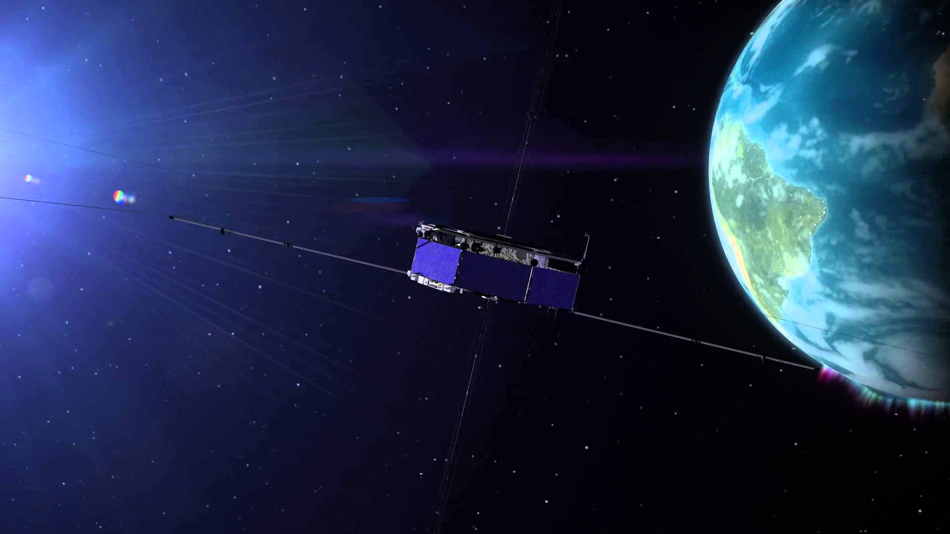
01 — START WITH THE SATELLITES
GPS uses a network of satellites orbiting Earth.
Each satellite continuously broadcasts a signal containing information about:
Where it is?
What time the signal was sent?
That signal travels through space at the speed of light.
Your phone simply listens.
02 — TIME BECOMES DISTANCE
This is where GPS gets clever.
Imagine a satellite sends a signal at exactly 12:00:00.
Your phone receives it a tiny fraction of a second later.
Because radio signals travel at a known speed, your phone can work out approximately how far the signal travelled.
The basic idea:
Travel time × Speed of light = Distance
So one satellite gives your phone a distance from that satellite.
But that’s not enough to tell you exactly where you are.
03 — ONE SATELLITE ISN’T ENOUGH
Imagine you’re told:
“You are 20,000 km from this satellite.”
You could be anywhere on a huge sphere around it.
Now add another satellite.
The possible locations become much smaller.
Add another.
The possibilities narrow further.
With signals from multiple satellites, your phone can determine your position in three dimensions.
More satellites → More precise position
04 — YOUR PHONE IS SOLVING A GEOMETRY PROBLEM
At its heart, GPS is a giant positioning calculation.
Your phone is effectively asking:
“Where could I be, given my distance from these satellites?”
The signals from different satellites create overlapping distance measurements.
The point where those measurements intersect gives an estimate of your location.
This process is called trilateration.
Not triangulation.
GPS primarily uses distance, not angles.
05 — THE CLOCK PROBLEM
There’s one enormous challenge.
The signals are travelling incredibly fast.
A tiny error in measuring time can create a large error in distance.
That’s why GPS satellites carry extremely accurate atomic clocks.
Your phone doesn’t have an atomic clock of its own.
Instead, it uses signals from multiple satellites to correct for the difference between its own clock and the satellites’ clocks.
This is one reason GPS is such an impressive engineering system.
06 — GPS IS MORE THAN JUST SATELLITES
When you’re using maps on your phone, GPS may not be working alone.
Your device can combine satellite positioning with:
GPS
Satellite signals
Wi-Fi
Nearby wireless networks
Cell towers
Mobile network information
Sensors
Accelerometers and gyroscopes
Maps
Roads, buildings and known locations
Together, these systems can provide a more useful and stable location estimate.
07 — SO WHERE DOES THE BLUE DOT COME FROM?
Now put everything together:
🛰️ SATELLITES
Send precisely timed signals.
↓
📡 PHONE
Receives the signals.
↓
⏱️ TIMING
Measures how long they took to arrive.
↓
🧮 MATHEMATICS
Calculates distances and solves for position.
↓
📍 LOCATION
Your phone estimates where you are.
↓
🔵 BLUE DOT
Your map shows it to you.
THE BIG IDEA
GPS is remarkable because it turns something incredibly precise and invisible—the travel time of radio signals from satellites—into something incredibly useful:
Knowing where you are.
Every time you open a map, you’re using a system that combines space technology, physics, precision timing and mathematics.
And it all happens in seconds.
ROCKET MINUTE
Stories from Speed to Light.
Leave a Reply